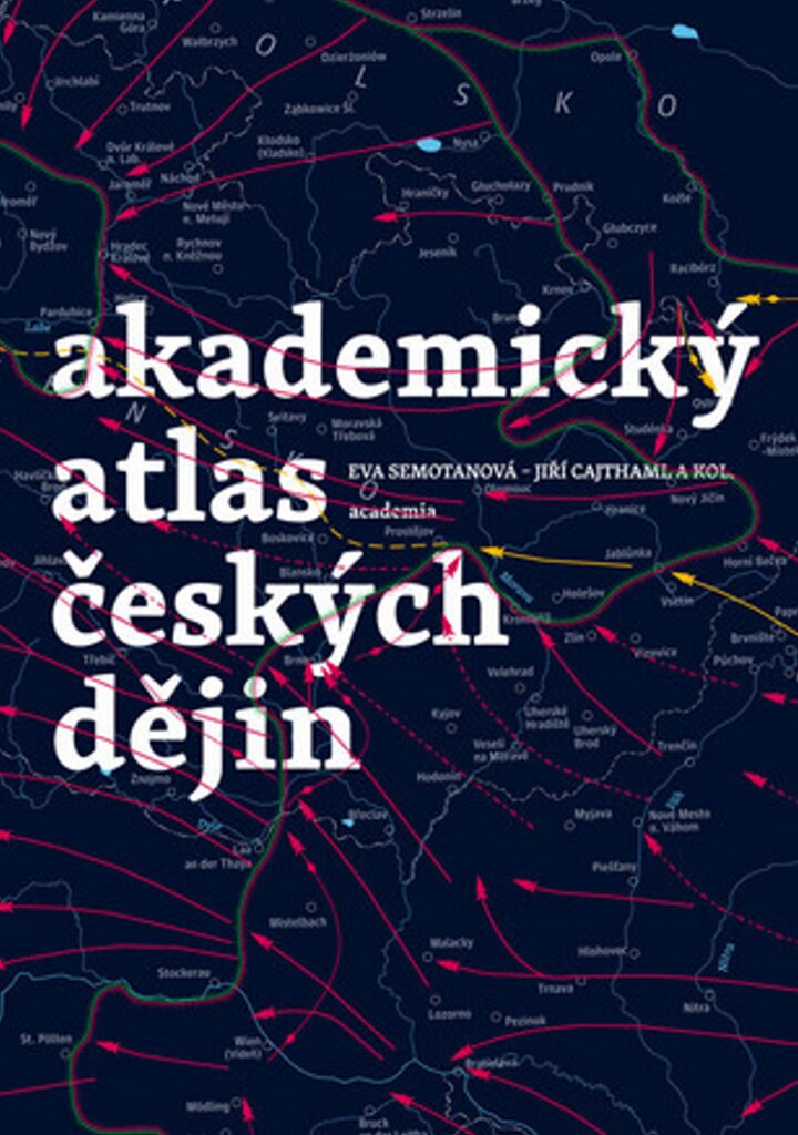
The publication provides access to a hierarchically arranged set of selected findings of modern Czech historical science after 1989, related to Czech and Slovak history, set in the European, especially Central European space, on maps, cartographic models, illustrations, graphs and cartograms. The aim of the project was to elaborate the results of historical research in an international context using a cartographic method. The five sections of the main, atlas part of the publication trace individual historical periods: prehistory, the Middle Ages, the early modern period, the modern period and modern history. The individual historical maps are accompanied by expert commentaries, and the publication is supplemented by other graphic aids (reproductions of sources, charts, tables, cartograms, computer models, etc.)


