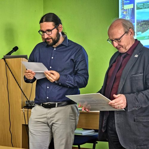
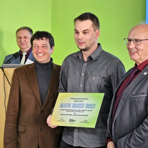
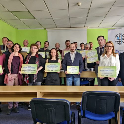
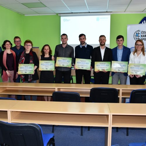
On Wednesday, 3rd May, an announcementof the winner of the 25th annual competition MAP OF THE YEAR, which is organised annually by the Czech Cartographic Society.
To our delight, the MAP OF THE YEAR 2022 award in the category of Digital Cartographic Products and Applications on the Internet was awarded to the Department of Geomatics of the Faculty of Civil Engineering of the Czech Technical University for the work Map Portal Vltava - Changes of Historical Landscape.
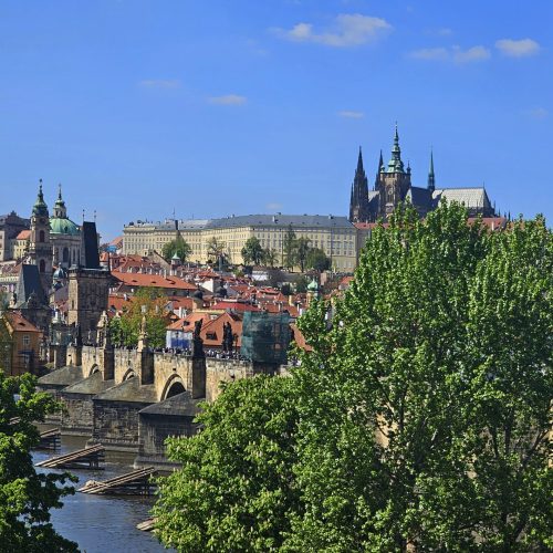
The map portal presents the extinct Vltava river landscape and its transformations. It is a set of four applications: a 2D map application, a 3D web scene , a 2D and 3D synchronized map application and an application with two 2D synchronized windows. From the sources of the Vltava River to Prague, the portal contains maps of three time levels: circa mid-19th century, 1950s and present day. The portal includes a vector land-use model in three time levels and selected manuscript flow maps. The map application is also a platform for viewing localized historical photographs and postcards presented by an active feature in the map.
In the same category, our PhD student František Mužík also competed with his work Using Augmented Reality for Visualization of the Extinct Village of Zhůří. In the Student Cartographic Thesis category , Marek Hoffmann, a PhD student, was also nominated for the award with his thesis Web application of natural disasters.
All nominations and winners of each category can be viewed at https://www.cartography.cz/maparoku/aktualni-rocnik/