Author: František Mužík

  • Digitalizované historické objekty v Mariánských Lázních

    Digitalized Historical Objects in Mariánské Lázně

    The Department of Geomatics attended an opening reception in Mariánské Lázně, where the work of the Laboratory of photogrammetry and students from the Department of Architecture at the Faculty of Civil Engineering, CTU in Prague, was presented.
     
    The work involving the digitization of historical objects was presented by Prof. Zuzana Pešková (on behalf of the Department of Architecture) and Dr. Karel Pavelka (on behalf of the Laboratory of Advanced Visualization Technologies).
  • 20. Kartografický den Olomouc

    20th Cartography Day in Olomouc

    The 20th edition of Cartography Day took place at UPOL, and we couldn't miss it.

    The theme of this year's edition was Cartography and the Human Mind, so we explored the possibilities of human perception not only in the field of maps. Our mind, after all, influences not just the reading of a map, but also something as simple as opening one or buying an atlas.

    Part of the event was a gathering of young cartographers organised by the Czech Cartographic Society, during which some master's and doctoral students from various universities had the opportunity to learn from, for example, the hands-on experience of a freelance cartographer.

  • Kreativní mapa 2025

    Creative map 2025

    A map doesn’t have to be created on a computer—this is the core idea behind one of the assignments in the Cartography 3 course. Students are tasked with creating a creative map using anything except a computer. Each year, this results in highly interesting and unconventional perspectives on cartography, showing just how diverse the field can be.

    Last semester’s outcomes included map cakes, collage maps, and even a relief demonstration made using the rigatoni method. This unconventional assignment opens space for new ideas and original approaches, confirming that cartography is not only about precision, but also about creativity and inspiration.

  • Studijní stáž na Aalto University

    Study internship at Aalto University

    Matěj Klimeš, a second-year student in the master's program in Geodesy and Cartography, specializing in Geomatics, went to Espoo, Finland, for a study internship as part of the Erasmus program during the winter semester.
     
    He describes his experience as follows. Studying geomatics at Aalto University is quite different from studying at the Faculty of Civil Engineering at CTU in Prague and is inspiring in many ways. Noteworthy are the interactive lectures, strong student community, emphasis on new technologies, and student involvement in research. On the other hand, I now appreciate more the depth and context with which geomatics is taught at CTU.
     
    He adds that the internship was a great way for him to test his knowledge of the field in an international environment, practice English, meet new people, learn about a new culture and nature, and, above all, gain a lot of experience and memories.
     
    For anyone hesitating about going abroad, he adds that it is actually easy to go, and everyone involved will try to accommodate and help you.
  • Expedice Salvador

    Salvador Expedition

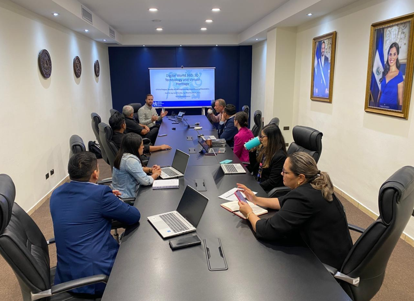
    Our department, led by Prof. Karel Pavelka, took part in an expedition to El Salvador. The purpose of the trip was to accept an invitation from an organization with which we had concluded a cooperation agreement last year on the basis of negotiations, previous activities, and a personal visit by a group of Salvadoran experts, as well as to hold high-level meetings with the aim of establishing further cooperation in science, culture, and education.
     
    An important point of cooperation is the fact that the director of OPAMSS (La Oficina de Planificación del Área Metropolitana de San Salvador) is a graduate of the doctoral program at CTU and therefore has good contacts with references to CTU in El Salvador. The main points of the trip were four targeted and modified lectures for different audiences. The key information was about CTU as a whole, the study opportunities available at our university, preferred areas of research and teaching, and the strategic directions of CTU's development.
     
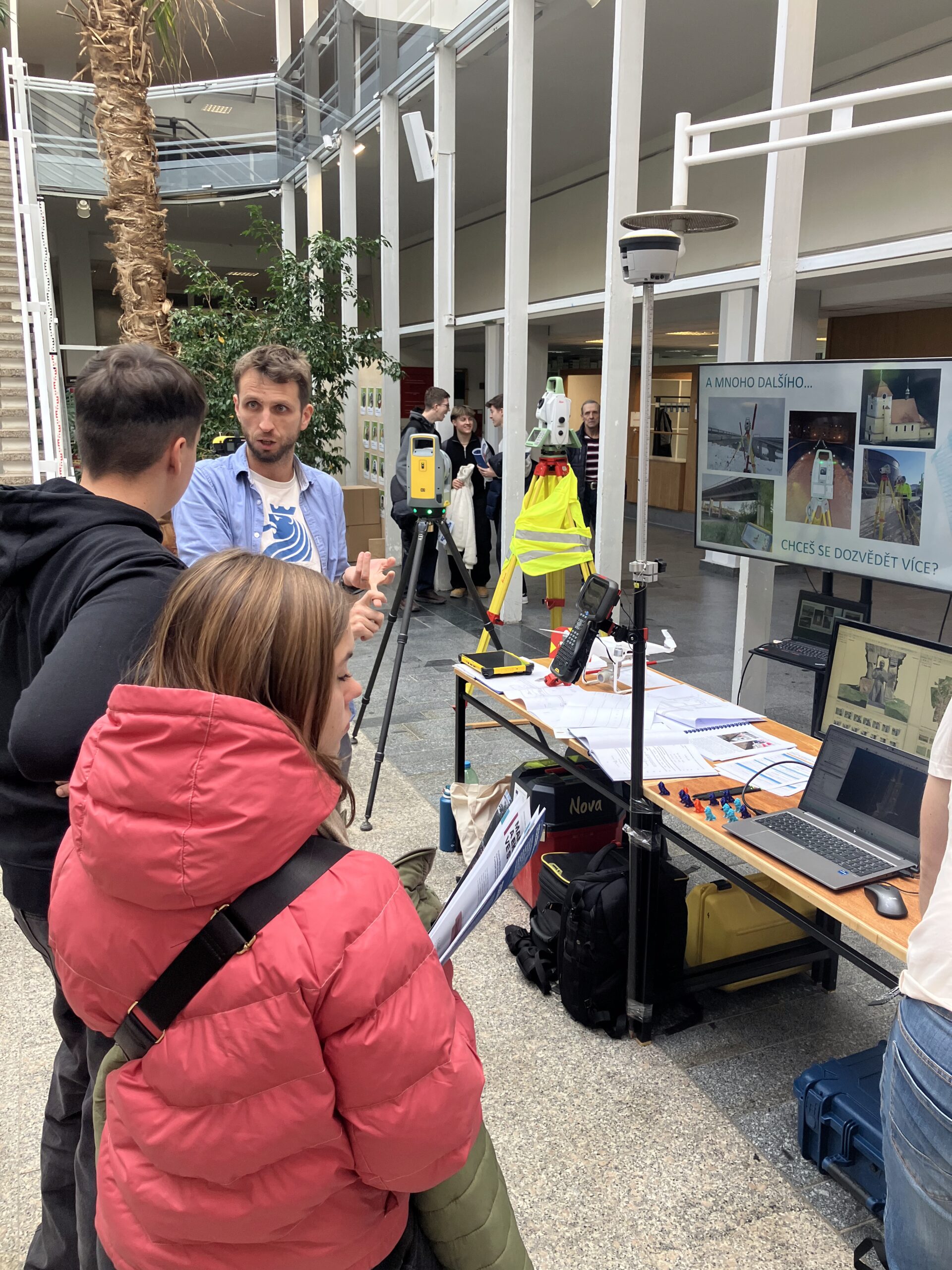
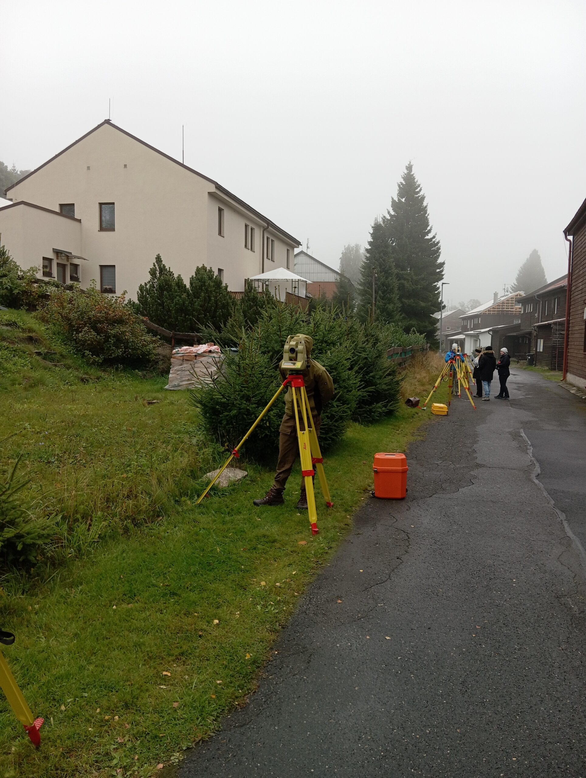
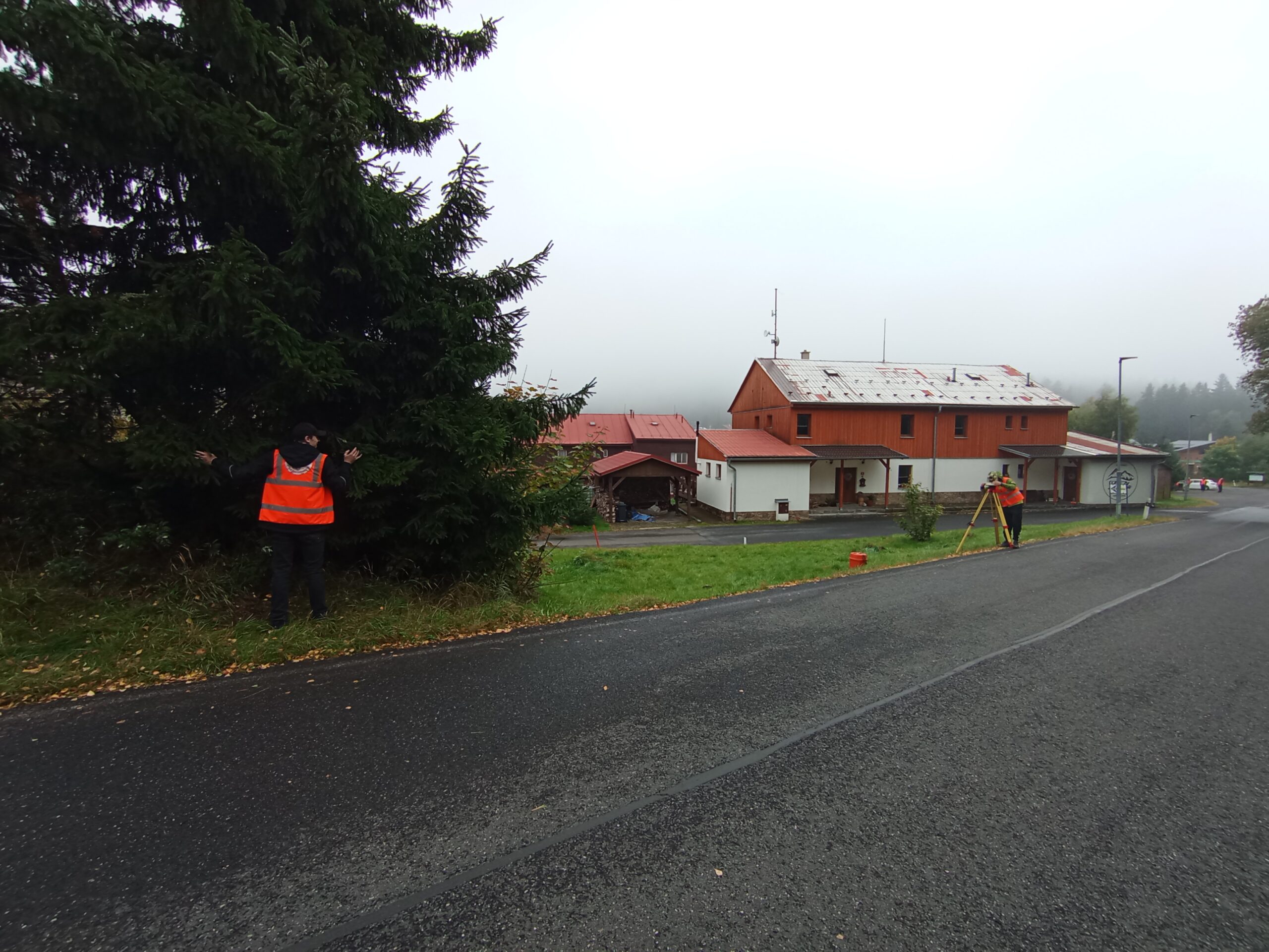
    As part of the expedition, it was important to demonstrate the possibilities of today's fast and accurate documentation of objects using drones, photogrammetry, and mobile laser scanning. Five archaeological sites were visited over three days.
     
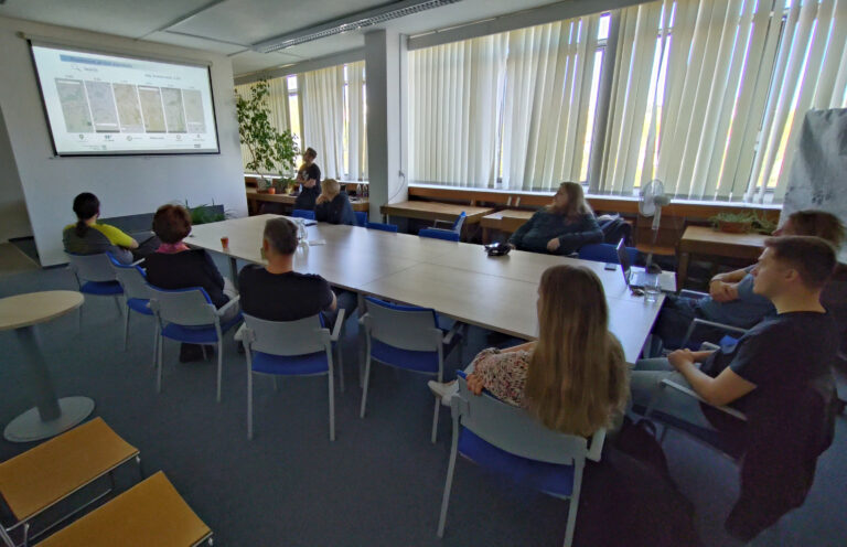
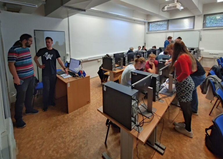
    The most important presentations were lectures given during a three-hour workshop to interested parties from various institutions and universities. In the subsequent discussion, questions were answered, particularly regarding the possibility of students from El Salvador studying at CTU and technology transfer. In addition, demonstration measurements and data processing were carried out for the documentation of historical buildings, technical equipment in buildings, urban planning and architecture, as well as the possibilities of precise measurement and metrology for technical and mechanical objects.
     
    Possible areas for further cooperation beyond those mentioned above were discussed, such as sensor-based early warning systems and proposals for solving critical transport issues in the capital city.
     
  • Workshop ve spolupráci s kolegy z Poznaně

    Workshop in cooperation with colleagues from Poznań

    During a 14-day internship, Wojciech Rymarkiewicz from Poznań, Poland, visited the Department of Geomatics. His research focuses on control elements of mobile mapping applications, their efficiency, and suitability. He conducted a workshop with our students, examining their views on the appropriate placement of control elements and their functionality. He also presented his research at the department in a lecture, which was followed by a lively discussion.

  • Workshop moderních metod geomatiky, Telč 2025

    Workshop on modern methods of geomatics, Telč 2025

    The annual workshop on modern geomatics methods organized by our department took place again in November in the center of Telč. The workshop serves as a meeting place for experts from the field and academics. At the same time, it regularly presents new developments, particularly in the field of photogrammetry and laser scanning.
     
    The meeting included, among other things, presentations of ongoing dissertations by doctoral students from our department and from the Department of Special Geodesy.
     
  • Den otevřených dveří 22.11.2025

    Open Day 22th November 2025

    A regular part of the end of November is the Open Day at the Faculty of Civil Engineering of the Czech Technical University in Prague, which we did not miss this year either. Together with colleagues from the Department of Special Geodesy, we traditionally presented the Geodesy and Cartography program. Visitors had the opportunity to see what the work of a surveyor looks like, including measurements using a laser scanner and data processing and visualization in GIS.
     
    At the same time, we participated in the presentation of a new study program called Construction, Landscape, and Environment, on which we are also collaborating. We believe that we have attracted the interest of many students and look forward to seeing them in the next academic year.
  • Setkání projektu EUSPA/GEMOP v Lisabonu

    EUSPA/GEMOP Project Meeting in Lisbon

    In October, our department, represented by Zdeněk Vyskočil, participated in a three-day meeting of the EUSPA/GEMOP project, hosted by the University of Lisbon.
     
    During an intensive program, 27 European institutions shared the results of previous project phases and presented plans for the next period. The presentations provided not only an overview of progress but also a new impulse for the monitoring of the Galileo and EGNOS satellite systems, which are the main focus of the project.
     
    The GEMOP project supports the development and accuracy of European satellite navigation systems and connects research institutions across Europe in the fields of geolocation, metrology, and precise positioning.
  • Výuka v terénu z Geodetických přístrojů

    Field teaching of Geodetic Instruments

    During the first week of the semester, students entering their second year completed field training in geodetic instruments. Although the weather was typical for early autumn, the measurements were successful and everyone enjoyed their stay in Mariánská.

    Field teaching of Geodetic Instruments takes place annually under the guidance of Zdeněk Vyskočil, building on previous teaching during the semester. Students are introduced to the issues of high-precision levelling and laser scanning.