Author: hoffmann

  • Navštěva profesorky Medyńské přislibuje budoucí spolupráci

    Professor Medyńska's visit promises future cooperation

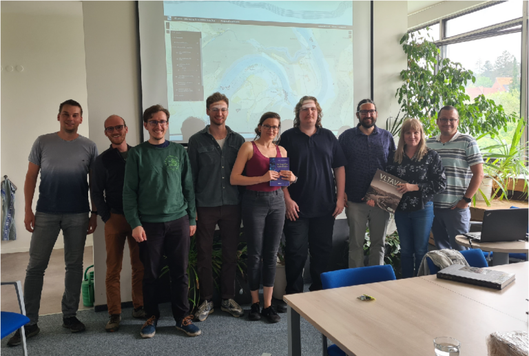
    Last week our department had the honour to welcome Professor Beata Medyńska-Gulij from Adam Mickiewicz University in Poznan. It was a very interesting visit that promises future international cooperation.

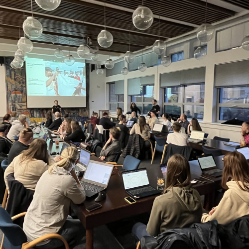
    Professor Medyńska is the head of the Department of Cartography and Geomatics at her university and brought with her a wealth of experience from her academic career. During her visit we had the opportunity to present our current projects and the results of our long-term work. Professor Medyńska similarly introduced her team and the topics they are working on in the department. The differences and different perspectives made for very interesting discussions.  

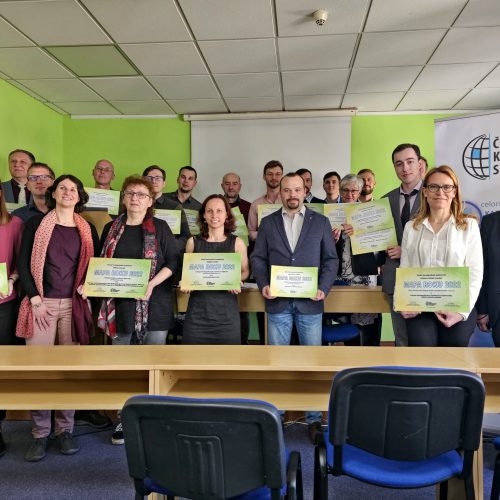
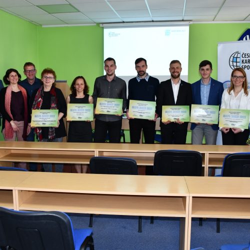
    Among other things, Prof. Medyńska was also invited to present her term papers from the Cartography Project course. There she gave her evaluation and feedback or valuable advice to the students for further development of their projects. 

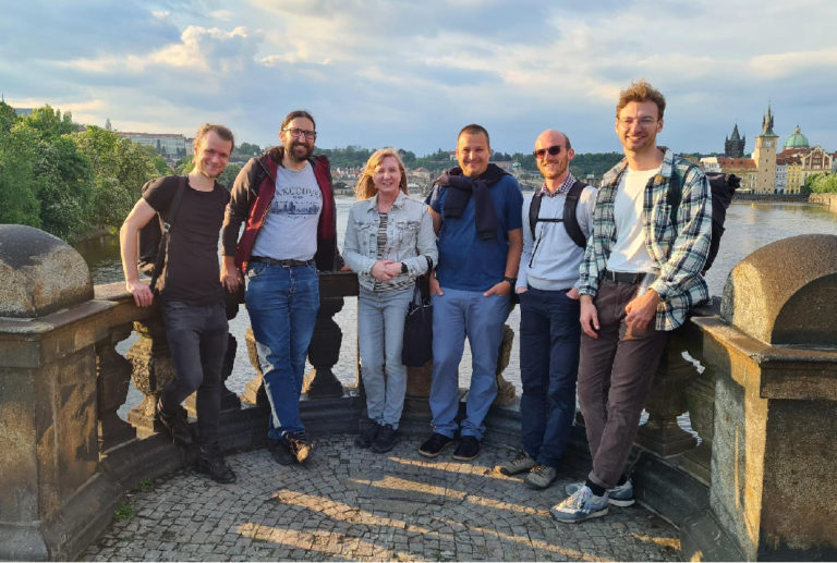
    Naše katedra si návštěvy prof. Medyńské váží. We are looking forward to future cooperation with her university and exchange of experiences that will lead to the joint development of the field of cartography and geomatics.

  • Křest nové publikace! Vltava – proměny historické krajiny

    Launch of a new publication! Vltava River - Changes in the Historical Landscape

    The book Vltava – proměny historické krajiny was baptised by the real Vltava water on Tuesday 9 May 2023!  

    The ceremony took place symbolically on the banks of the river, in Podolí, Prague, at the CERE Yacht Club, with the participation of members of the author's team, a number of collaborators and invited guests. The output of the joint project of the authors from the Faculty of Civil Engineering of the CTU and the Faculty of Science of the Charles University was awarded by the Dean of the Faculty of Science of the Charles University, prof. Jiří Zima, the godparents of the publication were geographers doc. Ivan Bičík and prof. Bohumír Janský from the Faculty of Arts of Charles University and the chairman of the Vltavan Davle Association Ing. Josef Bílek. 

    The publication can be purchased in the B2Comp shop directly in the building of the Faculty of Civil Engineering, as well as through the e-shop (https://www.b2c.cz/)

  • Projekt NAKI Vltava oceněn Mapou roku

    NAKI Vltava project awarded Map of the Year

    On Wednesday, 3rd May, an announcementof the winner of the 25th annual competition MAP OF THE YEAR, which is organised annually by the Czech Cartographic Society.

    To our delight, the MAP OF THE YEAR 2022 award in the category of Digital Cartographic Products and Applications on the Internet was awarded to the Department of Geomatics of the Faculty of Civil Engineering of the Czech Technical University for the work Map Portal Vltava - Changes of Historical Landscape.  

    The map portal presents the extinct Vltava river landscape and its transformations. It is a set of four applications: a 2D map application, a 3D web scene , a 2D and 3D synchronized map application and an application with two 2D synchronized windows. From the sources of the Vltava River to Prague, the portal contains maps of three time levels: circa mid-19th century, 1950s and present day. The portal includes a vector land-use model in three time levels and selected manuscript flow maps. The map application is also a platform for viewing localized historical photographs and postcards presented by an active feature in the map.

    In the same category, our PhD student František Mužík also competed with his work Using Augmented Reality for Visualization of the Extinct Village of Zhůří. In the Student Cartographic Thesis category , Marek Hoffmann, a PhD student, was also nominated for the award with his thesis Web application of natural disasters.

    All nominations and winners of each category can be viewed at https://www.cartography.cz/maparoku/aktualni-rocnik/

  • Missing Maps mapathon na ČVUT

    Missing maps mapathon at CTU

    On Thursday 9 March 2023, the first Missing Maps mapathon took place at the Faculty of Civil Engineering of CTU.

    Akce vznikla z iniciativy projektu Missing Maps ve spolupráci s humanitární organizací Lékaři bez hranic (MSF) a katedrou geomatiky na ČVUT.  Projekt si klade za cíl vytvářet mapy v OpenStreetMap na místech, kde taková data chybí. Podrobné mapy jsou pro týmy Lékařů bez hranic nezbytné mimo jiné pro plánování očkovacích kampaní, vyhodnocování zdravotnických dat či provádění epidemiologických analýz. Dobrovolníci z různých míst po celém světě tak na dálku přispívají k aktualizaci map oblastí postižených nemocemi či přírodními katastrofami, kde humanitární organizaci zasahují.

    Hybridního Missing Maps mapathonu na naší fakultě se zúčastnilo celkem 61 účastníků, z toho 43 na místě. Součástí programu byla úvodní prezentace o Lékařích bez hranic a Missing Maps, následovalo vyprávění Barbory Jeníkové, která se jakožto architekta účastnila misí v Afghánistánu, Jižním Súdánu, či Sieře Leone. Po krátkém školení nových maperů následovala část volného mapování, při které se podařilo zmapovat přes 10 tisíc budov v Malawi, která se v současnosti potýká s cholerou. 

    There was no shortage of small snacks, pizza and a caffeine boost in the form of Club Maté, a caffeinated drink donated by the same company for the mapathon.

    We hope this wasn't the last dude mapathon, we look forward to the next one and mapping success!